Like most families, Ian and Vanessa enjoy travelling together. Since retiring in 2019 we started this blog to allow people to follow our journeys. Hopefully you find the locations we visit of interest.
We can’t really grumble about the weather during the last week as the only shower we had was overnight and most days we have seen the sun shine. But today was forecast to remain overcast and this afternoon we spent with our friend in Stoke-on-Trent which ended up in a nice pub nearby for an evening meal. So we went back to Three Shires Head as Vanessa hadn’t seen it before. For me I took the drone to get a different perspective on the area and then tried my skills at bird photography.
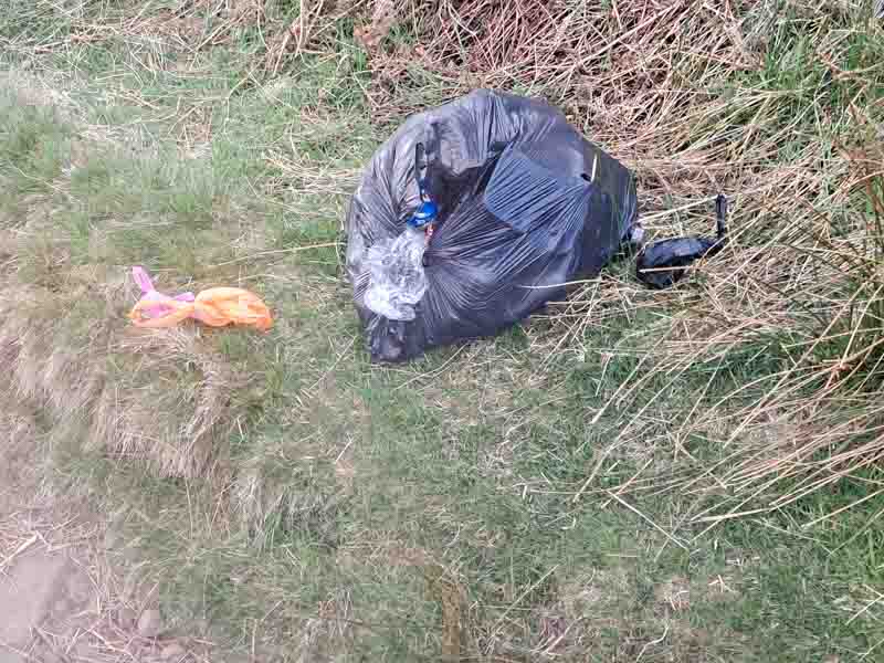
However, I have to moan now about the trekking public – I know it’s only a few people but why litter such a lovely area (or any area). Walking down to the bridge and stream was easy going, but along the route we saw discarded dog poo bags and a bin liner full of rubbish.
On the way back we picked up 5 poo bags – If they’re not going to dispose of it properly, then at least kick it off the path and leave it for the weather to break it down – sorry, moan over!
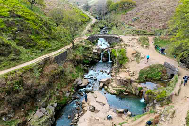
While Vanessa was left to photograph the bridge and stream, I got the drone into the air.
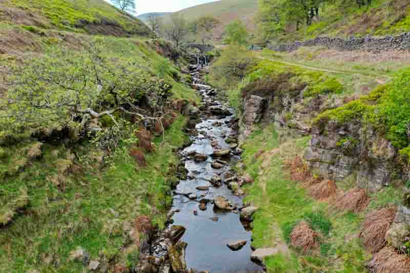
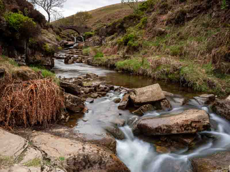
View looking downstream
View looking upstream
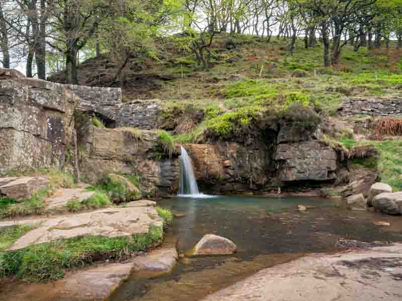
Both waterfalls looking up – at times many more peoplestream
Most people edited out – just Vanessa remaining
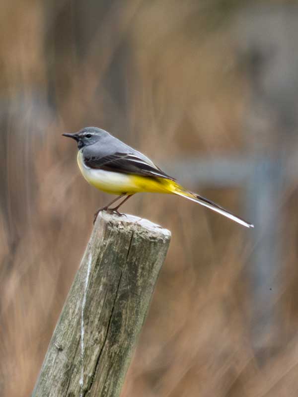
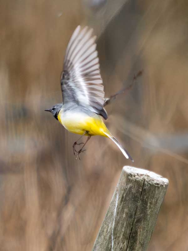
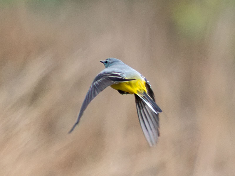
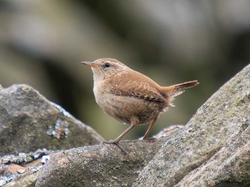
I could hear birds all around but useless at spotting them, but on the way back to the car Vanessa spotted them and I photographed them using the camera’s ProCap mode.
A Grey Wagtail.
Eurasian Wren – significant photo crop as these are very small.
European Male Stonechat
Don’t think for a moment that I knew what these birds were – I’d downloaded the Merlin app on my phone, took a picture of my laptop image and hey presto, I appear to be very knowledgeable on the topic.
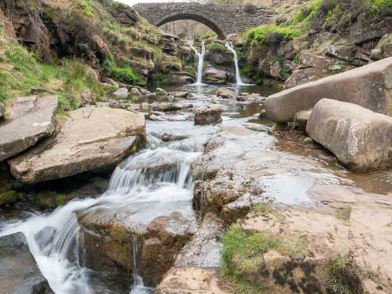
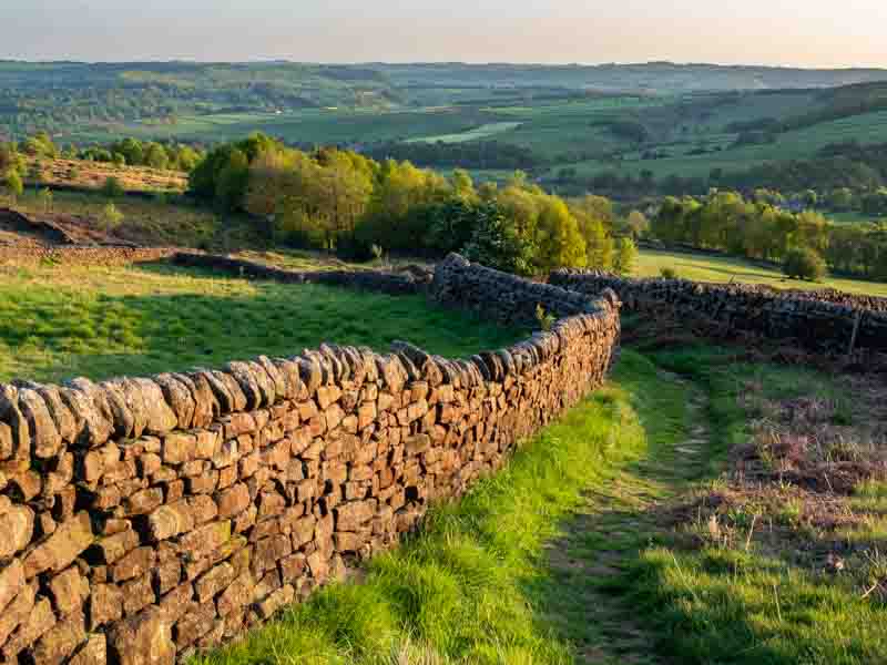
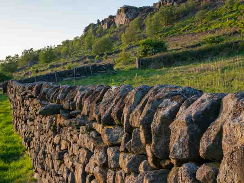
I got up early in search of Three Shires Head, which was very easy once I had the route plotted after accessing the internet last evening. I suppose if I’d had a paper map; which would have been how I found it over 21 years ago, then I wouldn’t have had an issue yesterday.
I parked the car just along small lane a few miles south west of Buxton on the A54 and followed the footpath using my saved route on the Komoot app and had no problem getting to the location, which was about a 3/4 mile walk down into the valley.
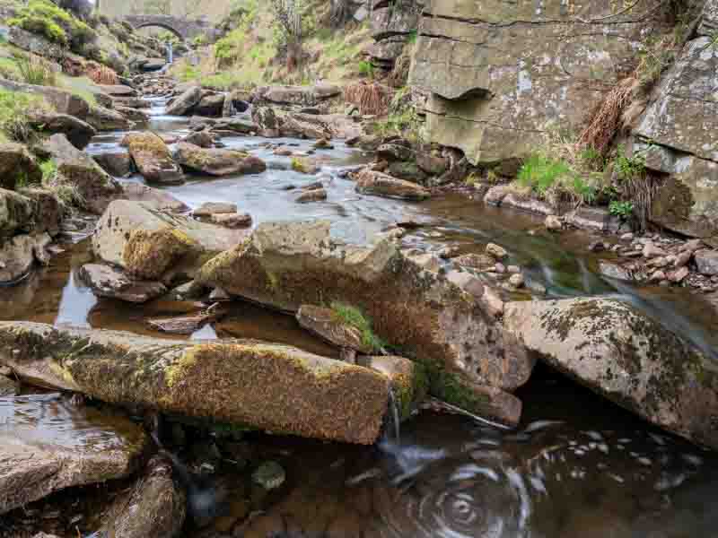
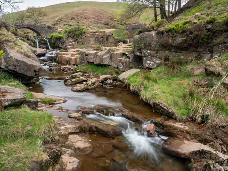
River Dane on the left meeting an un-named stream on the right.
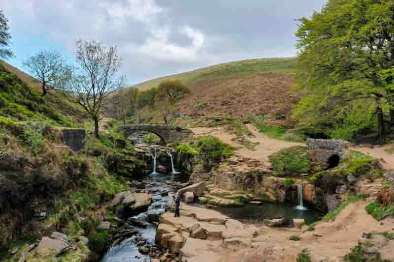
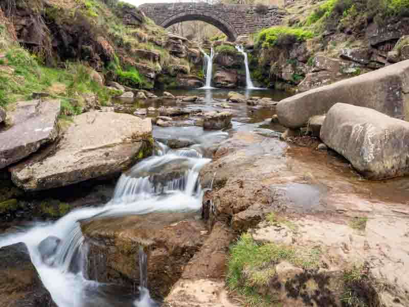
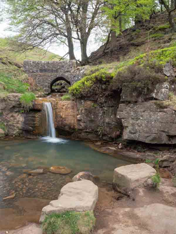
I arrived at 7am not knowing when the sun might appear over the hills. Using my ‘Sun Surveyor App‘ (more details in the ‘Planning‘ menu of this site), I confirmed the sun might appear on the bridge at approx. 7:45am. Of course when photographing water you don’t want direct sunlight as exposure becomes an issue, but I was hoping for light on the bridge. Anyway, plenty of time to photograph the area. The lighter sky was still reflecting off the water, so for most shots I fitted my polarizer….
Without and with polarizer filter
Comparing the images, you should be able to see the benefit of the polarizer.
Unfortunately by 7:45am the sky had started to cloud over, so I took a few last shots of the pool of the 2nd stream before heading back to the car.
I returned to the motorhome for breakfast and continued my search for a replacement battery. One of the potential suppliers confirmed they couldn’t source a replacement and recommended that I try Euro Car Parts. Bingo – they had a suitable replacement in stock, so after lunch we headed down to Newcastle-under-Lyme (adjacent to Stoke) and even better news was that it was £46 cheaper than the one the Fiat dealer was trying to source.
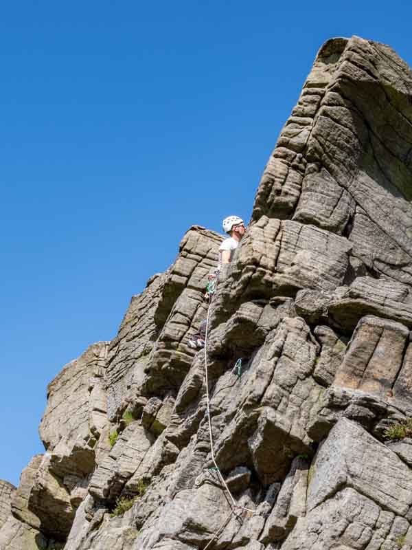
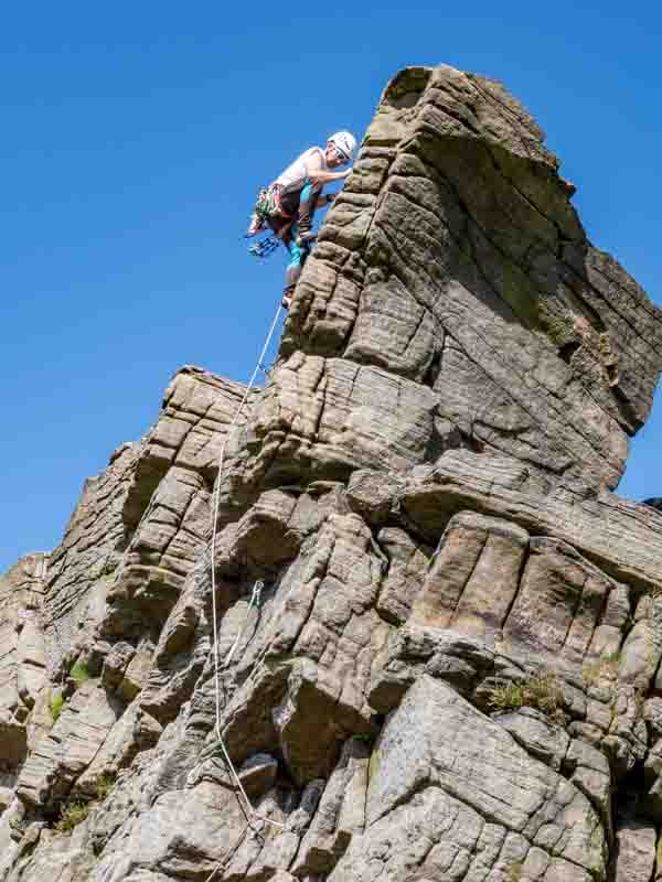
From here we then travelled Northeast for an hour to another viewpoint – Windgather Rocks which I hadn’t seen before. Unfortunately there was a ‘Road Closed’ sign in village just outside Macclesfield with no clue where the closure was – 4 miles later we found out it was on the road we needed to turn down. So a long detour (avoiding a 2nd lane closure) was required.
It was early afternoon and the light wasn’t really favourable for good photos, but wifey did get a few good shots of a climber on the rock face.
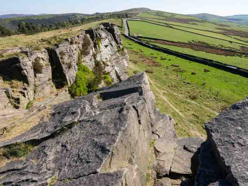
I tried the Infrared camera, but I wasn’t happy with the results, so clearly foliage is the preferred subject matter. However, I did grab this shot from the top of the rock (after finding an easier route up).
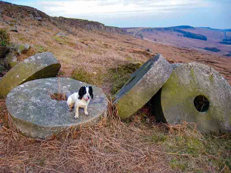
From here, we headed off to Hope (where we stayed in 2010) for a pub meal before moving onto Stanage Ledge in search of millstones. Despite a lengthy search from the road we couldn’t find any. So we moved on to Curbar Edge; but I was sure Stanage was where they should be?
I knew they should be at Stanage, so later that evening I reviewed some of my photos taken in April 2010 with our Misty who has now passed on.
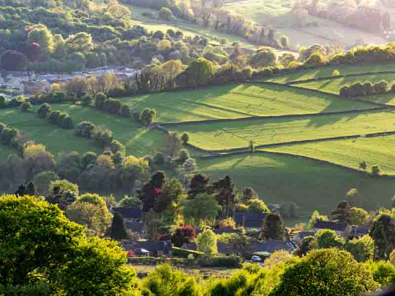
Arriving at Curbar Edge I could see straight away this wasn’t the millstone location, but the sun was getting low in the sky, so we stayed for a few early evening photos.
Headed back to the motorhome when I researched those old photos of Stanage Ledge against Google Earth views of the area. I may have found the right spot, so if we get another good evening, we’ll try again. Tomorrow’s forecast is cloudy, so we’ll not have an early start and I’ll have a go at fitting the new battery.